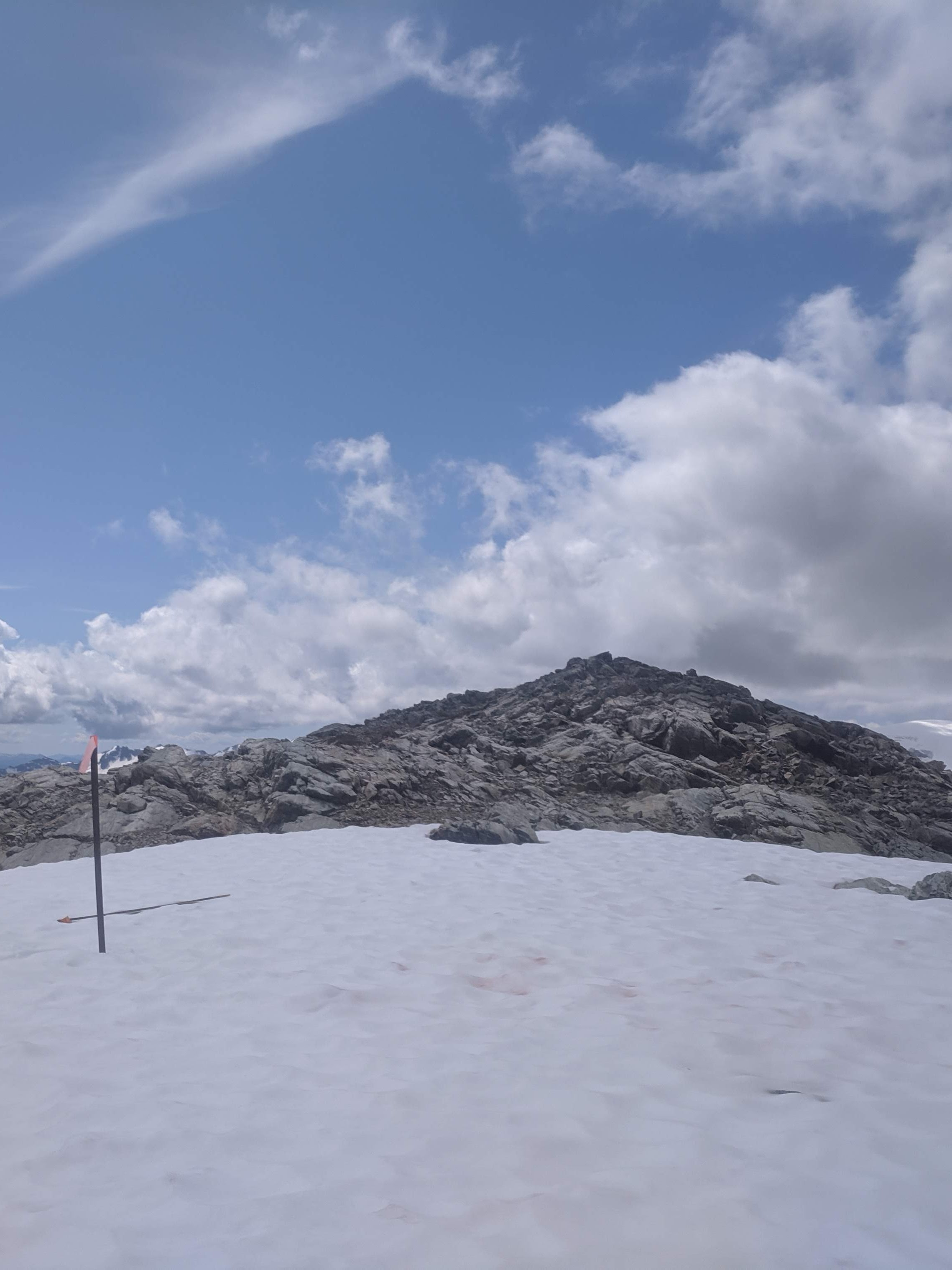
The intent behind a FOI request I made was to research a surprise I found while hiking near Hidden Peak on 20190728. I found a heli landing pad marker stake is on the flat patch at 50.21577, -123.23189. This appears to be just inside the Park boundary. Based on the FOI results, two heli operators are permitted to operate inside the Conservancy, but not the Park. It is likely that this stake belongs to one of these two companies. It is therefore possible that one (or both) of these companies may be operating outside the permitted scope of acceptable landing zones.
It may also be worth noting that I know of a landing zone which is occasionally used at 50.22454, -123.24249. I have heard of this landing zone referred to as "Borderline Landing". The "Borderline Landing" is on the border of the Callaghan Conservancy and unallocated Crown land; but is a modest 35m outside of the Park.
Callaghan heliski operator names/licence numbers


