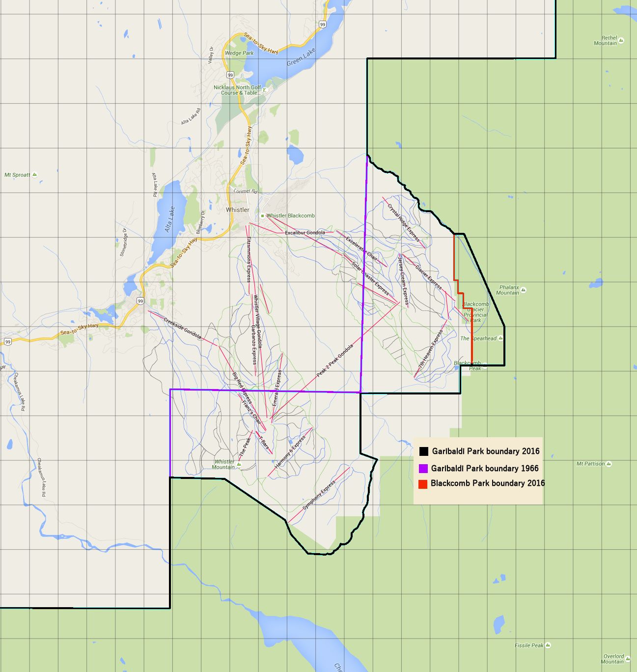
Whistler-Blackcomb Park Deletions in context:
- Min Elevation
- 0 m
- Total Distance
- 289.03 km
- Max Elevation
- 0 m
- Way Points
- 0
- Total Elevation Gain
- 0 m
- Track Points
- 3667
- Total Elevation Loss
- 0 m
| Values not available in the file may shown as 0. | |||
|
This track was downloaded 1 time(s). Please register/login to download this track. |
The map outline shows the 2016 Garibaldi Provincial Park boundary, Blackcomb Glacier Provicial Park boundary and the 1966 Garibaldi Provincial Park boundary.
Alternative Map/Presentation:


