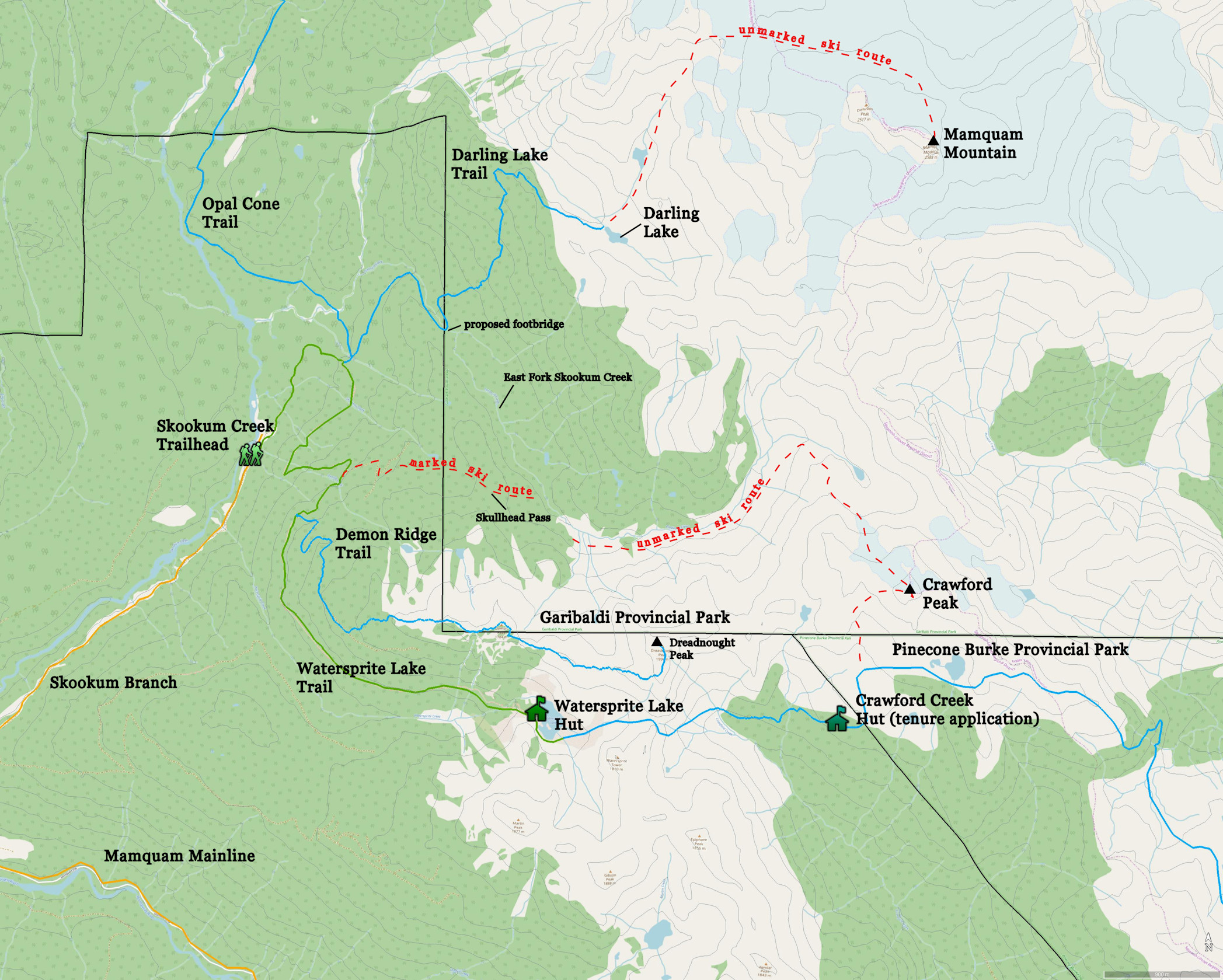
This section discusses the trails and park area that are approached from the Skookum Creek trailhead.

Southwest Amendment AreaSkookum Creek Labelled
Google Earth rendering of an oblique view looking east from above Elfin Lakes across Skookum Creek to Mamquam Mountain. Skookum Creek flows left to right. Its east fork drains the valley to the left of Dreadnought Peak. To a large extent, the area east of Elfin Lakes is zoned Wilderness Conservancy. The proposal is to change the zoning to be Natural Environment, which is the same as Elfin Lakes. The zoning change will permit trail development to Darling Lake and up Skookum Creek to Opal Cone.
SkookumCreekMapZoomedLabelled2095
Map of the park area reached from the Skookum Creek trailhead. Watersprite Lake trail was established under Section 57 of the Forest and Range Practices Act. It is managed by the British Columbia Mountaineering Club under a partnership agreement with Recreation Sites and Trails BC. The club has built a hut and tent sites at Watersprite Lake in cooperation with RSTBC. The blue lines represent proposed trails although Demon Ridge and Darling Lake trails are already beaten paths to a large extent. Opal Cone trail is proposed. Popular ski routes are indicated by the red dashed lines. The proposal is to mark the ski route over Skullhead Pass and perhaps clear deadfall along the route but not construct a hiking trail. The remaining routes would be left unmarked, which would require advanced backcountry navigation skills by touring parties. A alpine hiking trail is proposed for Pinecone Burke Provincial Park as part of its separate master planning process. The B.C. Mountaineering Club has applied for a tenure to build a mountain hut in Crawford Creek headwaters. The tenure application is pending.

Mamquam Mountain approach from Watersprite Lake trail

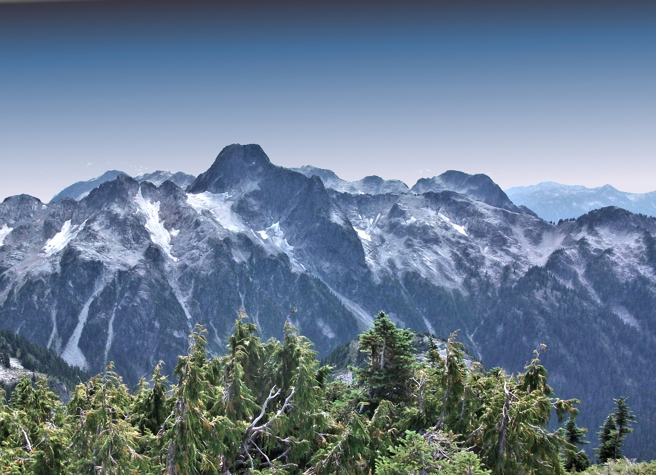
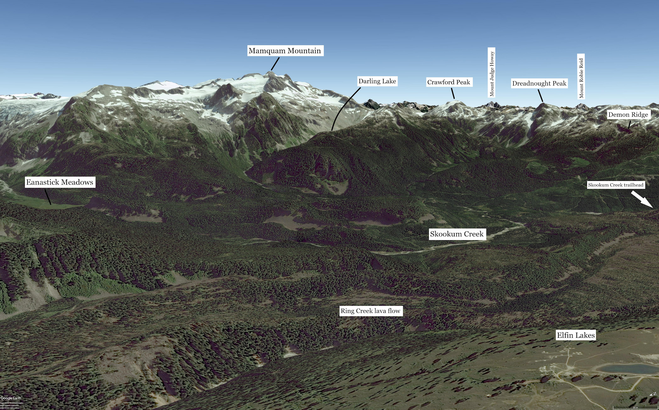
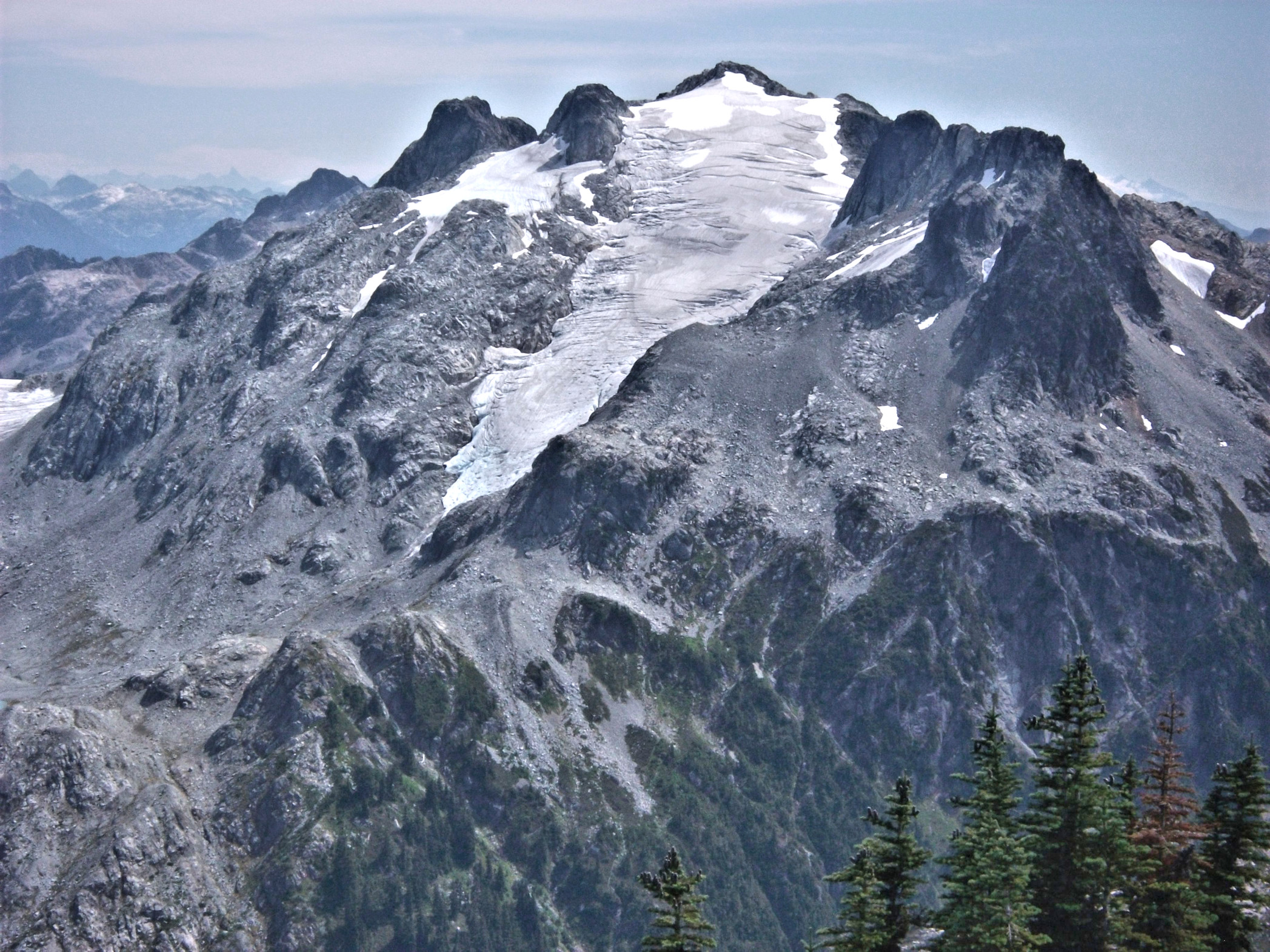
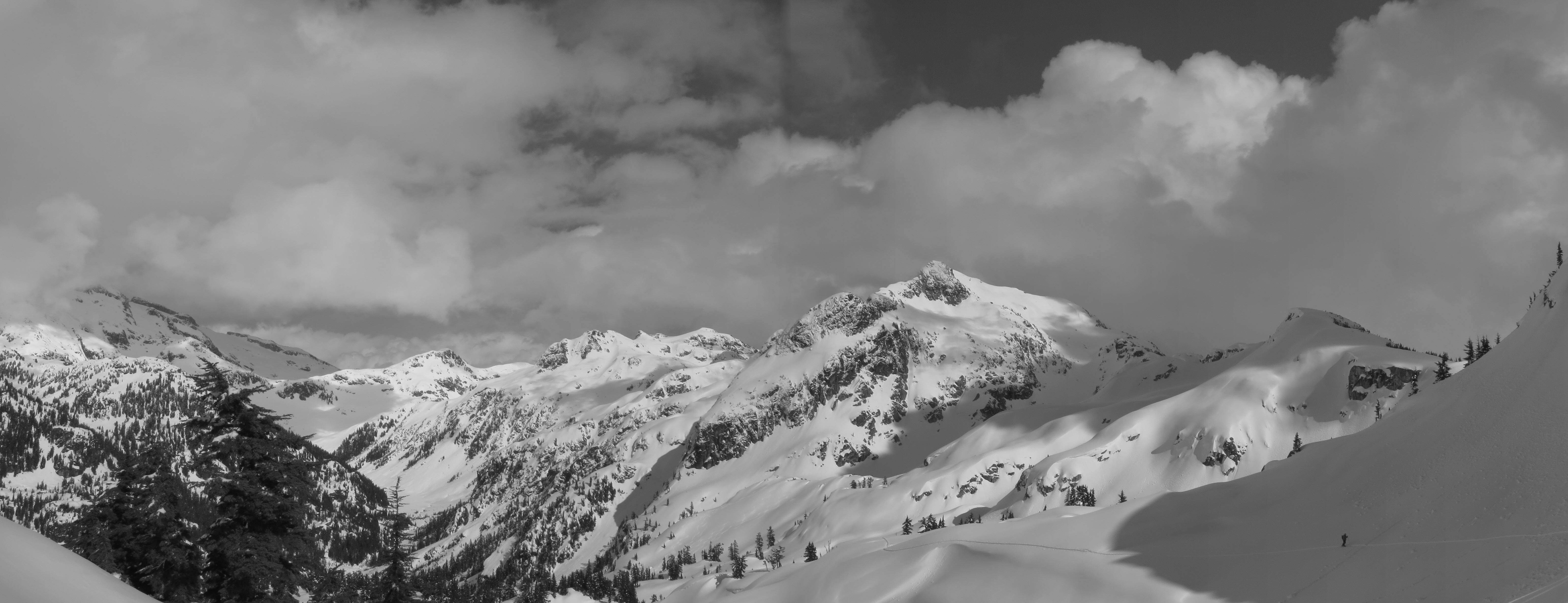
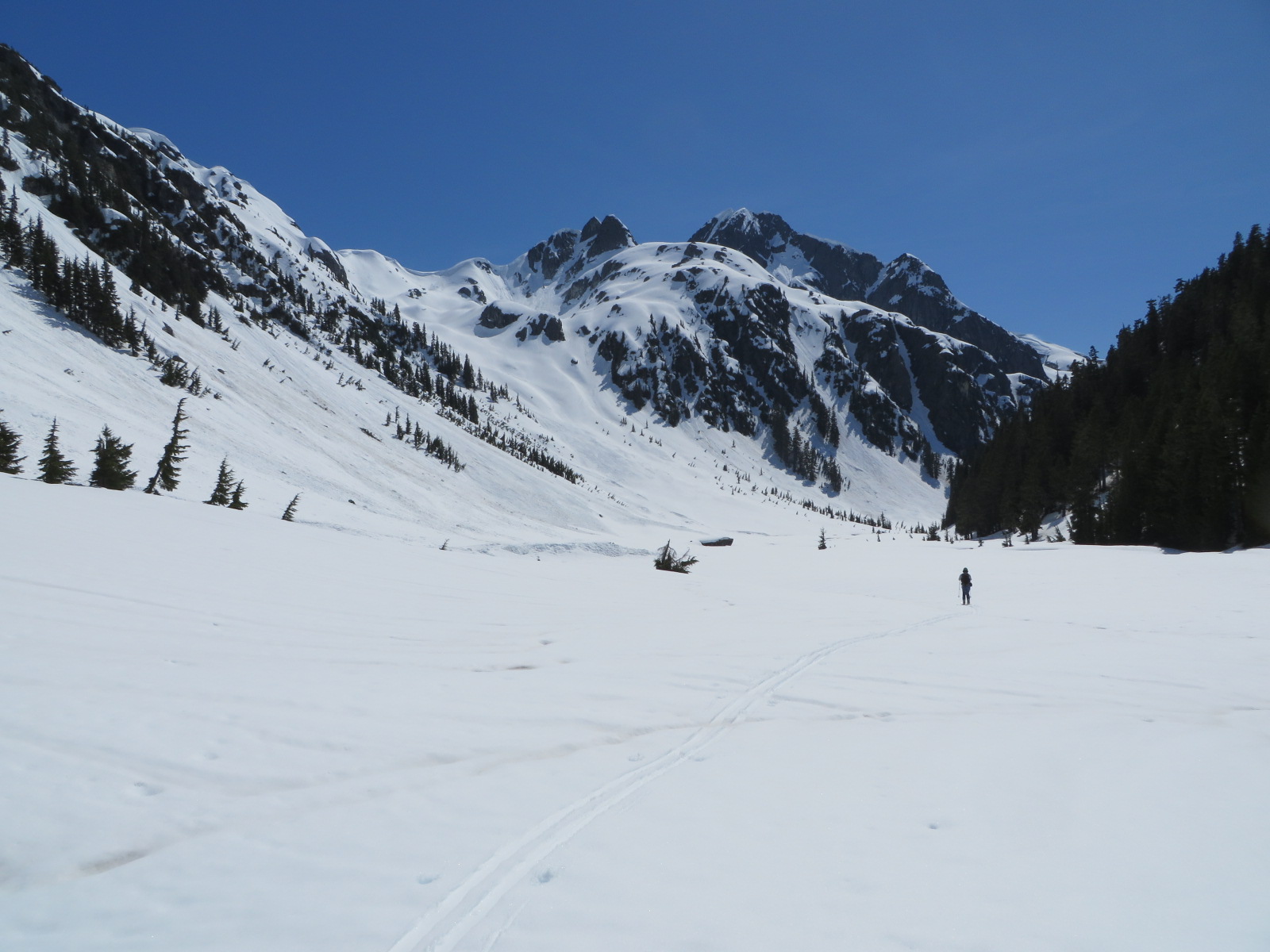
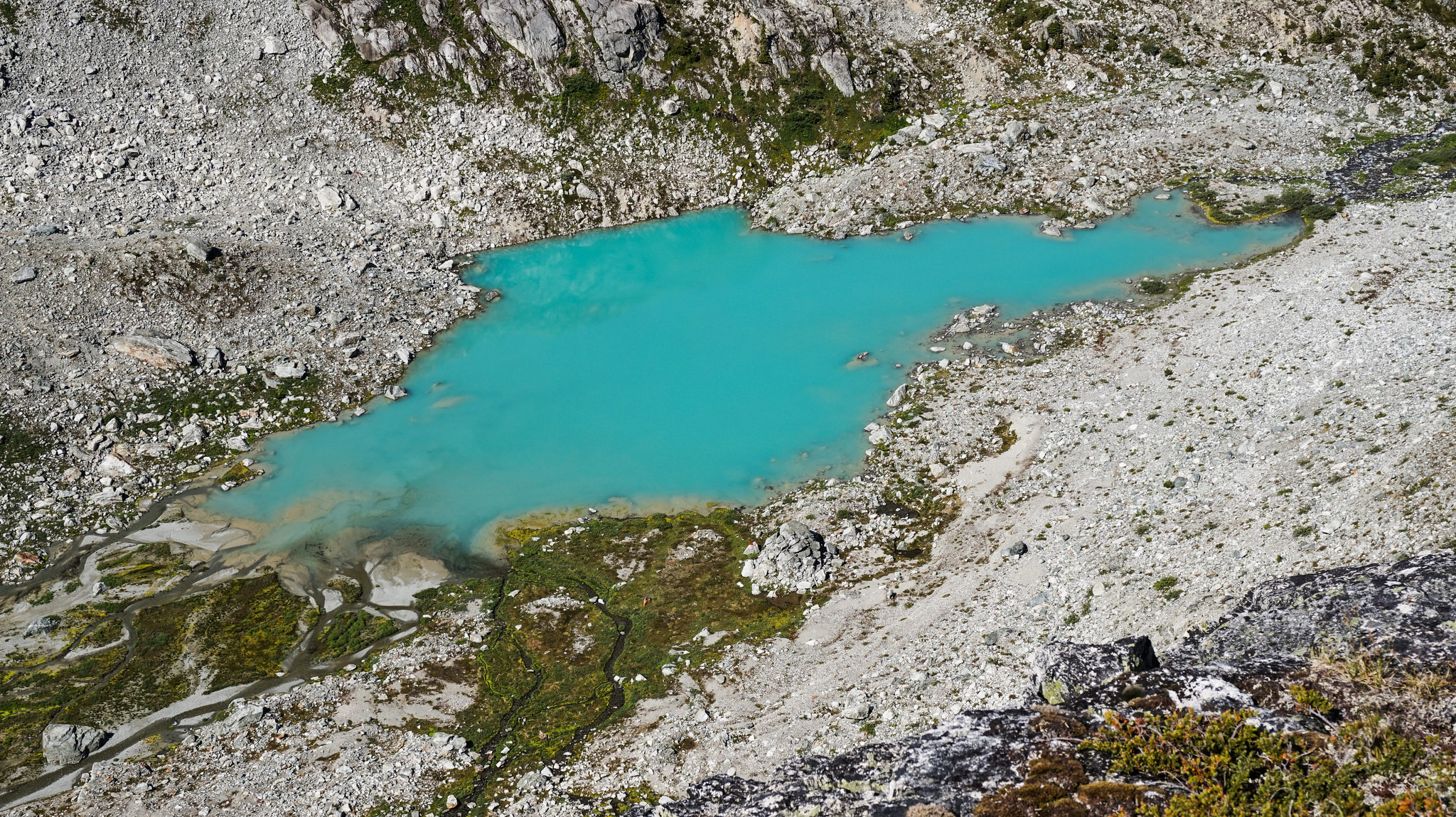
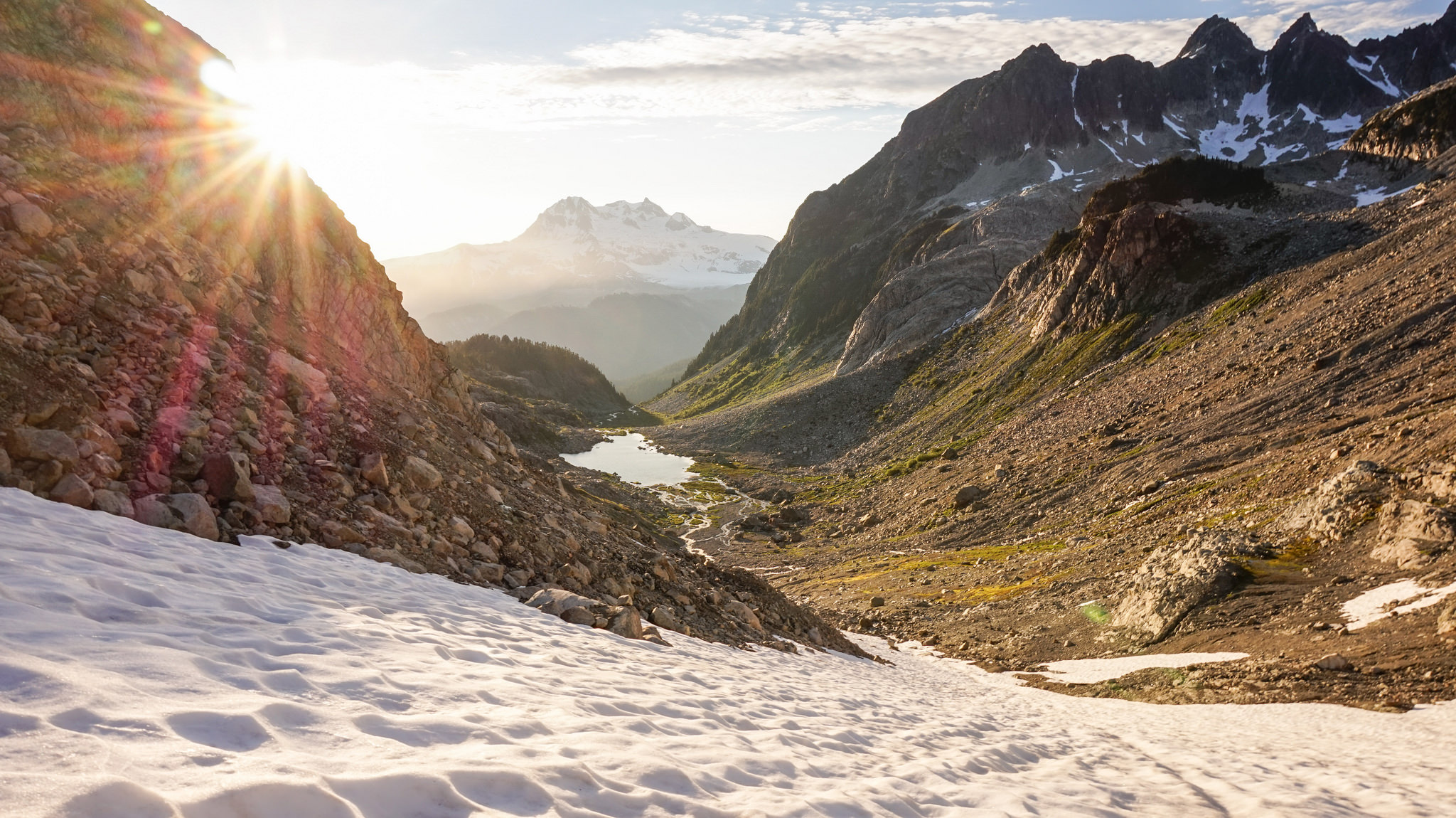
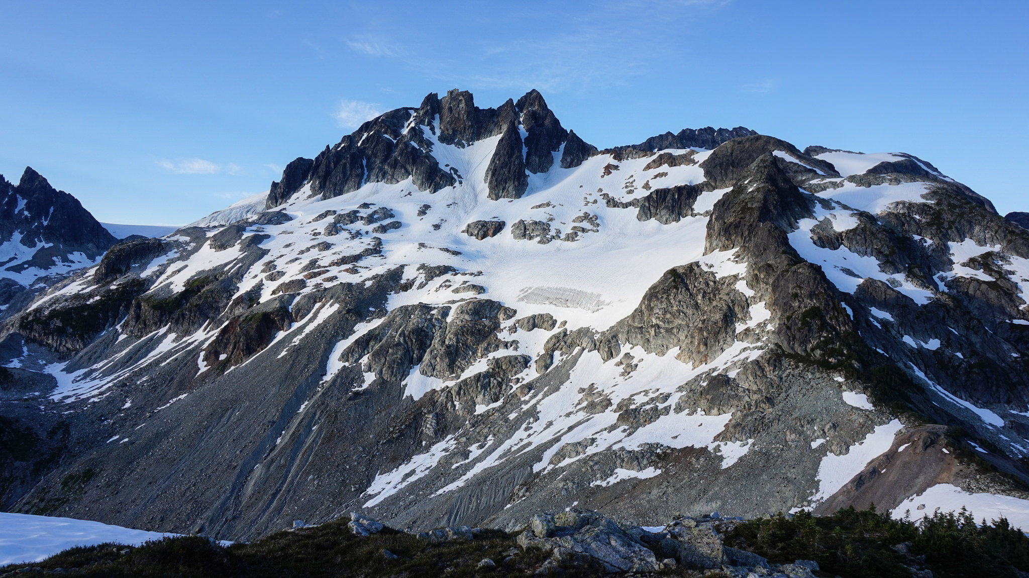
Mamquam Mountain is the premiere mountaineering and backcountry skiing destination in this corner of the park. It ranks with Mount Garibaldi in terms of difficulty and height. It is normally approached from the south or the west. The south side of Mamquam Mountain is reached from Watersprite Lake trail. Touring parties would either cross Skullhead Pass and ski up the east fork of Skookum Creek or cross over Crawford Peak and descend to the head of the east fork.

Mamquam Mountain South Face
South face of Mamquam Mountain above the east fork of Skookum Creek. Photo taken looking north from above the Watersprite Lake area. Historically, ski mountaineering parties from the B.C. Mountaineering Club and Alpine Club of Canada would approach the south face from logging roads in Crawford Creek further east. These roads have been decommissioned and are badly overgrown. Recent trail work to Watersprite Lake makes it feasible to once again approach the south face from Pinecone-Burke Provincial Park by skiing over Crawford Peak. The parties could return to the Skookum Creek trailhead by skiing down the east fork of Skookum Creek and exiting over Skullhead Pass.
Crawford Peak NW glacier
Crawford Peak showing its northwest glacier. This is a prime ski descent reached from Watersprite Lake by skiing south of Dreadnought Peak into the headwaters of Crawford Creek in Pinecone Burke Provincial Park. Parties ski up the south side of Crawford Peak into Garibaldi Provincial Park. Ski parties could descend the northwest glacier and go down the east fork of Skookum Creek. The creek valley becomes impassable at a braided swamp and parties are obliged to return to the Watersprite Lake trail by skiing over Demon Ridge at Skullhead Pass.
East fork of Skookum Creek
Looking east up the east fork of Skookum Creek in lower left. Mamquam Mountain is hidden in clouds on the far left. Crawford Peak is in the centre background. Dreadnought Peak is just right of centre. Demon Ridge is on the right.
Skookum Creek East Fork
Skiing down the upper section of of the east fork of Skookum Creek below Mamquam Mountain. Dreadnought Peak is in the background just right of centre.
Skullhead Pass1
Skullhead Pass in upper centre. Approaching the pass in the east fork of Skookum Creek below Dreadnought Peak. It is proposed to flag a permanent winter route up and over the forested pass to connect with the Watersprite Lake trail on the far side. Continuing a hiking trail further up the east fork of Skookum Creek is not advisable at this time due to the rugged terrain in the valley bottom. It will likely remain a winter route only. Proceeding down the valley below Skullhead Pass leads to an almost impassable swamp even in winter.

Mamquam Mountain approach from Darling Lake trail

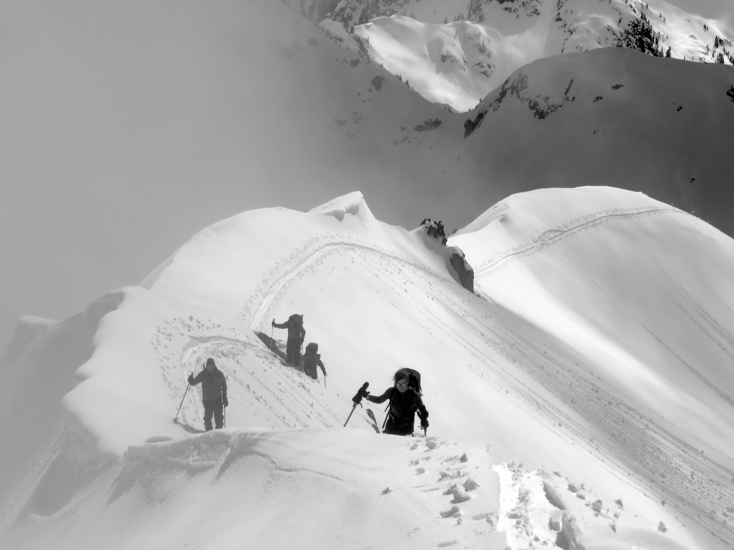
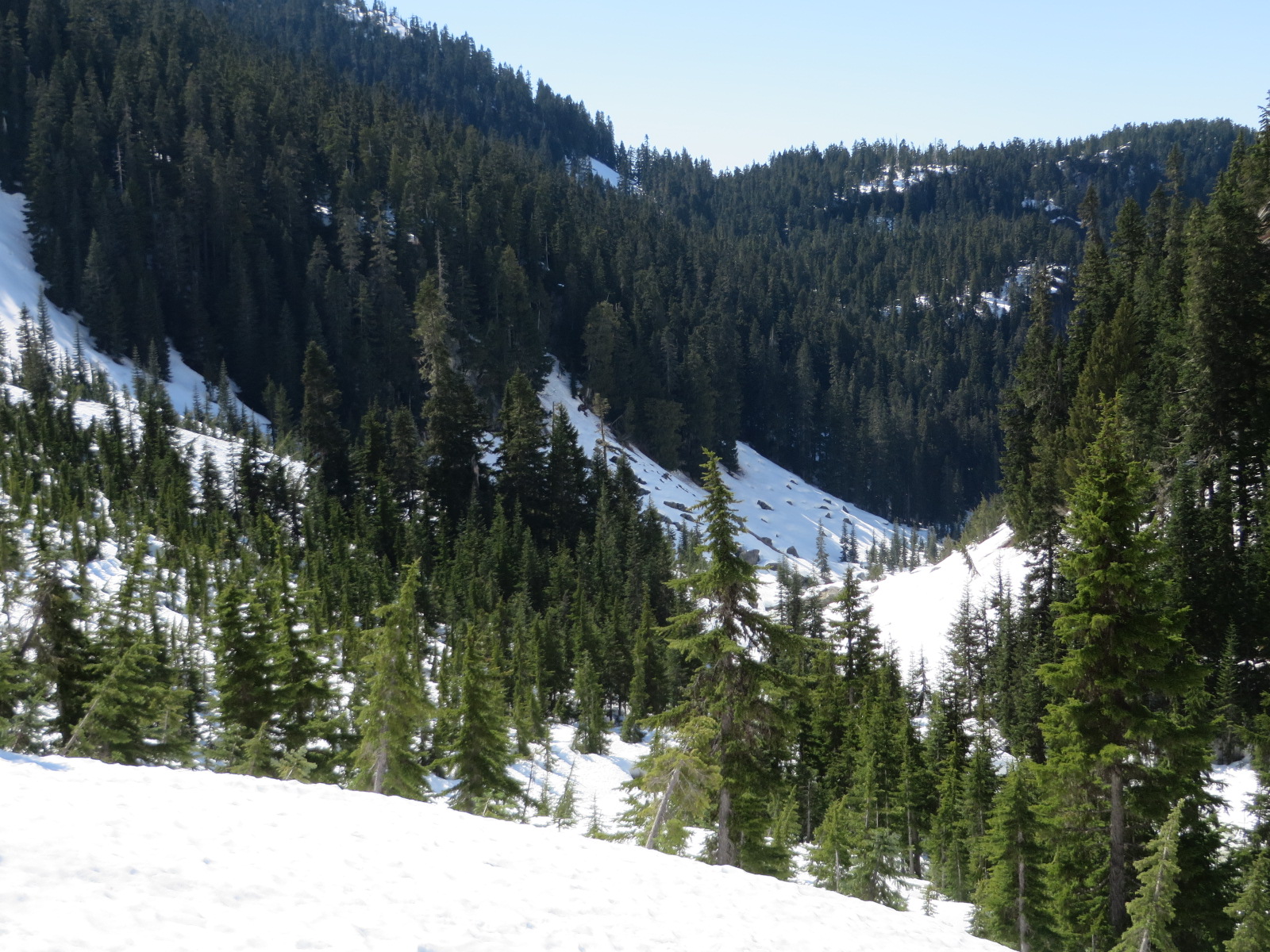
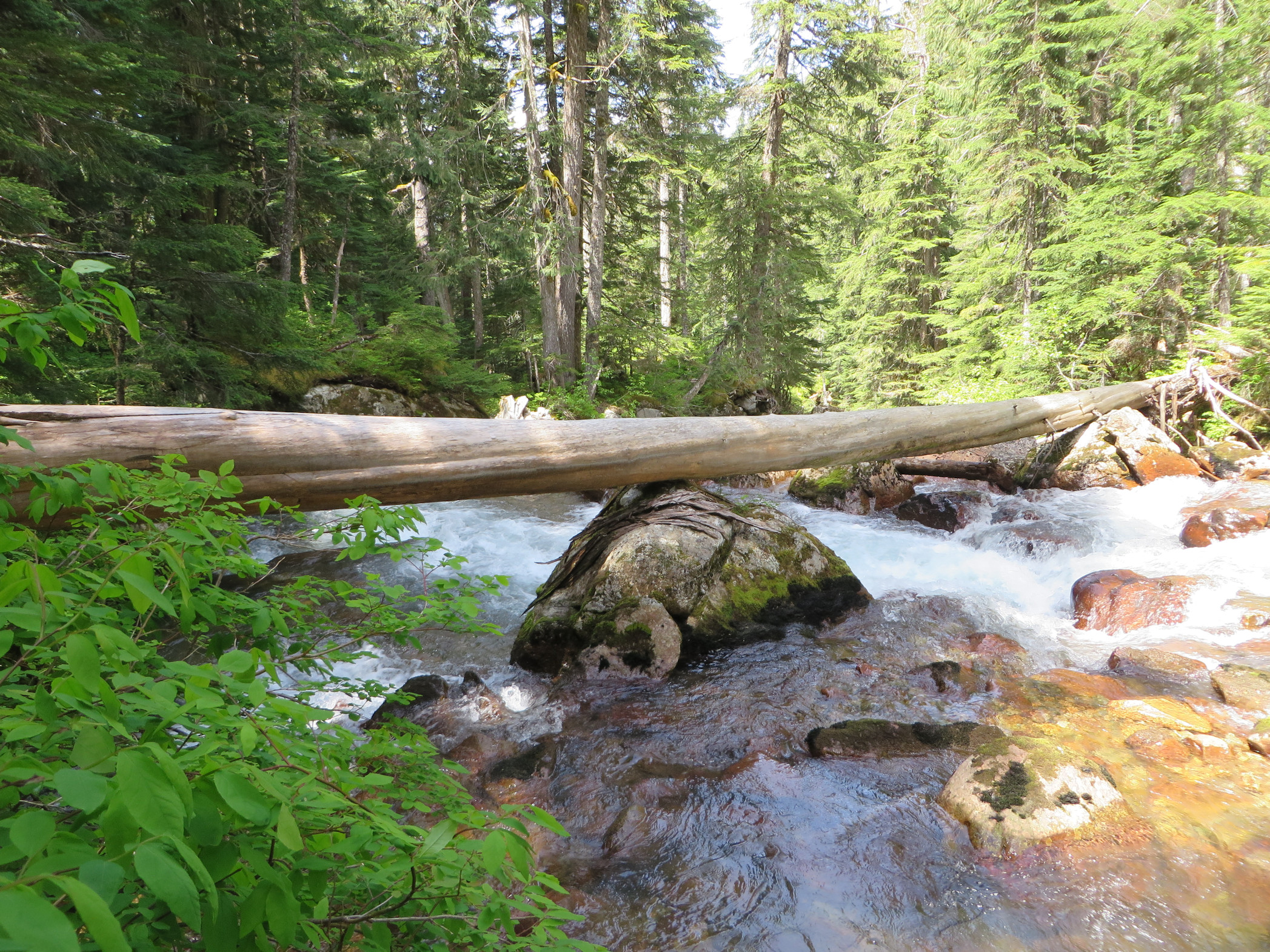
The west side of Mamquam Mountain is reached from Darling Lake. A long-established trail dating from at least 1977 leaves logging roads in Skookum Creek and goes over Darling Ridge to Darling Lake. The route is recognized as a major backcountry skiing corridor in the Sea to Sky Land and Resource Management Plan approved in 2007 by Squamish Nation and the province. From the lake, a mountaineering and backcountry ski route climbs to Mamquam Icefield. Objectives from the icefield are Mamquam Mountain, Darling Peak and Delusion Peak. The trail fell into disuse for a number of years as logging roads became overgrown. The Skookum Creek run-of-river power project rebuilt road access up Skookum Creek around 2011. In 2015, the B.C. Mountaineering Club was able to clear its Watersprite Lake trail beyond the power project dam to permit foot access to Darling Lake trail once again.
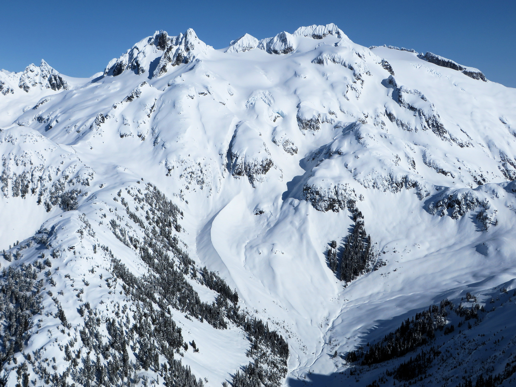
Darling Peak
Darling Peak above Darling Lake. The mountaineering route follows the watercourse to the small lake in centre and then up to the icefield in upper right. Photo: Mark Jenkins.


DarlingLakeAzure
Darling Lake. Photo: Mark Jenkins
DarlingLakeFromManic
Darling Lake looking west to Mount Garibaldi. Photo: Mark Jenkins.


Delusion Peak
Delusion Peak above Darling Lake. The gap on the left is the main ski touring route to Mamquam Mountain. Photo: Mark Jenkins.


Paranoid Creek footbridge
The existing crossing of the east fork of Skookum Creek on the Darling Lake trail. The stream gradient is steep and a fall off the log could be fatal especially as water levels rise. Downstream is a 10 meter waterfall.
ParanoidSwampCrossing
The proposed crossing of the east fork of Skookum Creek on the Darling Lake trail.

Demon Ridge

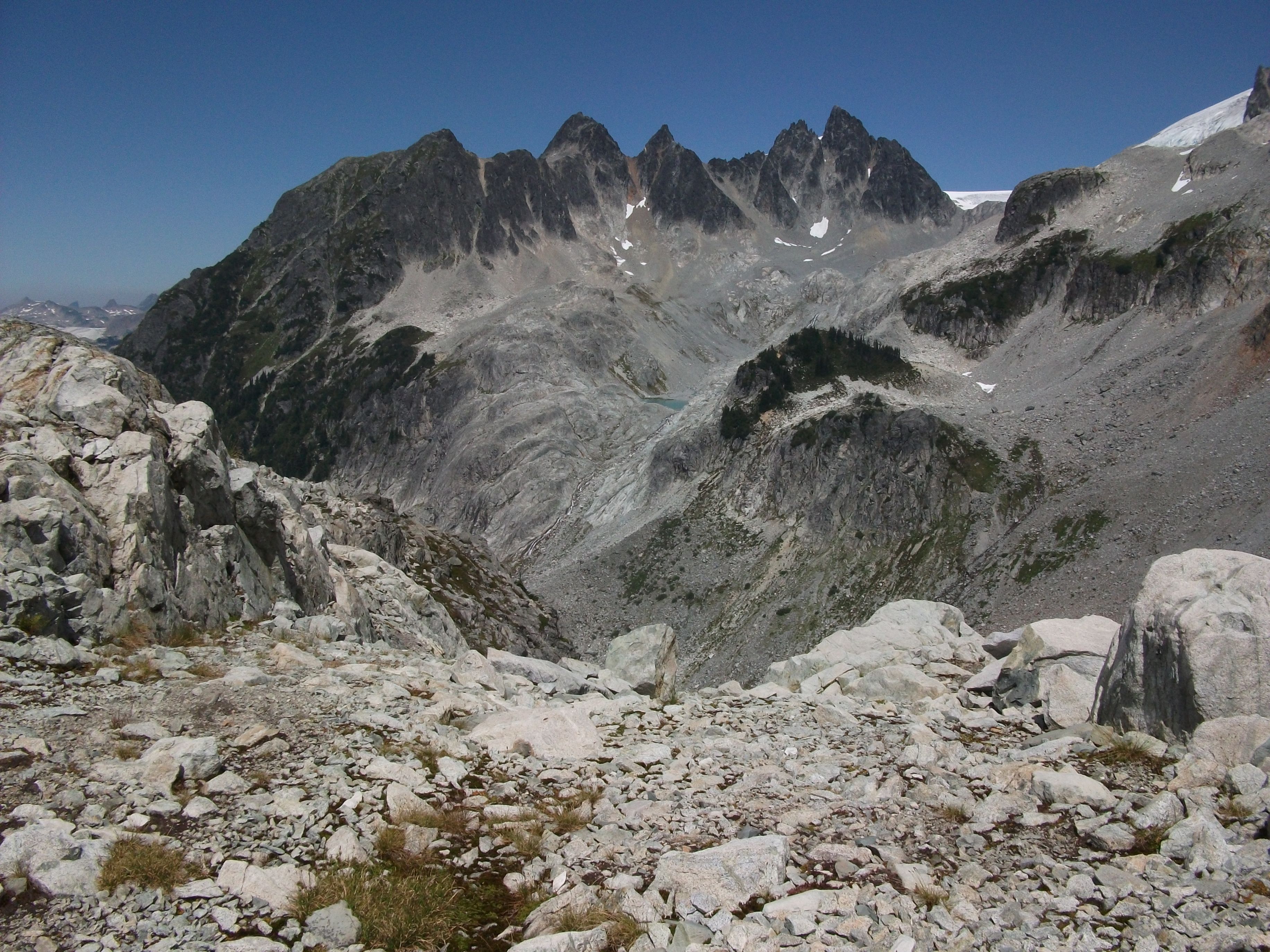
Demon Ridge acts as a barrier to north-south travel and migration. It separates Watersprite Lake from the east fork of Skookum Creek. It can be crossed most easily at Skullhead Pass on its western end. A rough trail is proposed along its crest that would be used in summer and fall as a scrambling route for hikers and mountaineers ascending Dreadnought Peak. Dreadnought Peak is at the far east end of Demon Ridge. It is an outstanding ski descent for experienced ski mountaineers.

Dreadnought Peak North Face
The north face of Dreadnought Peak, which is 2 km west of Crawford Peak. Demon Ridge is on the right side of the peak. It is a rock scrambling route sometimes used by hikers or mountaineers.
04 SummitRidge
Approaching the summit of Dreadnought Peak on skis from Watersprite Lake.
10 MidZone
Descending the west bowl of Dreadnought Peak.
12 BottomOut
The lower west bowl of Dreadnought Peak.