
NEW 2025 - How do I add video, images to my articles, comment or post?
This has been simplified with Backcountry BC's new text editor.
To add image or video galleries into your article, first, click in the body of your aricle in the text editor to place the cursor where you want to insert your photo gallery. At the bottom of the Text Editor is a button labeled "Gallery". Click on the button, then follow the instructions provided by of the component. The component also allows for multiple file uploads.
How do I display a map with a GPX track in my article or post?
This is easy because our trail database component is fully integrated with all other areas and components on Backcountry BC.
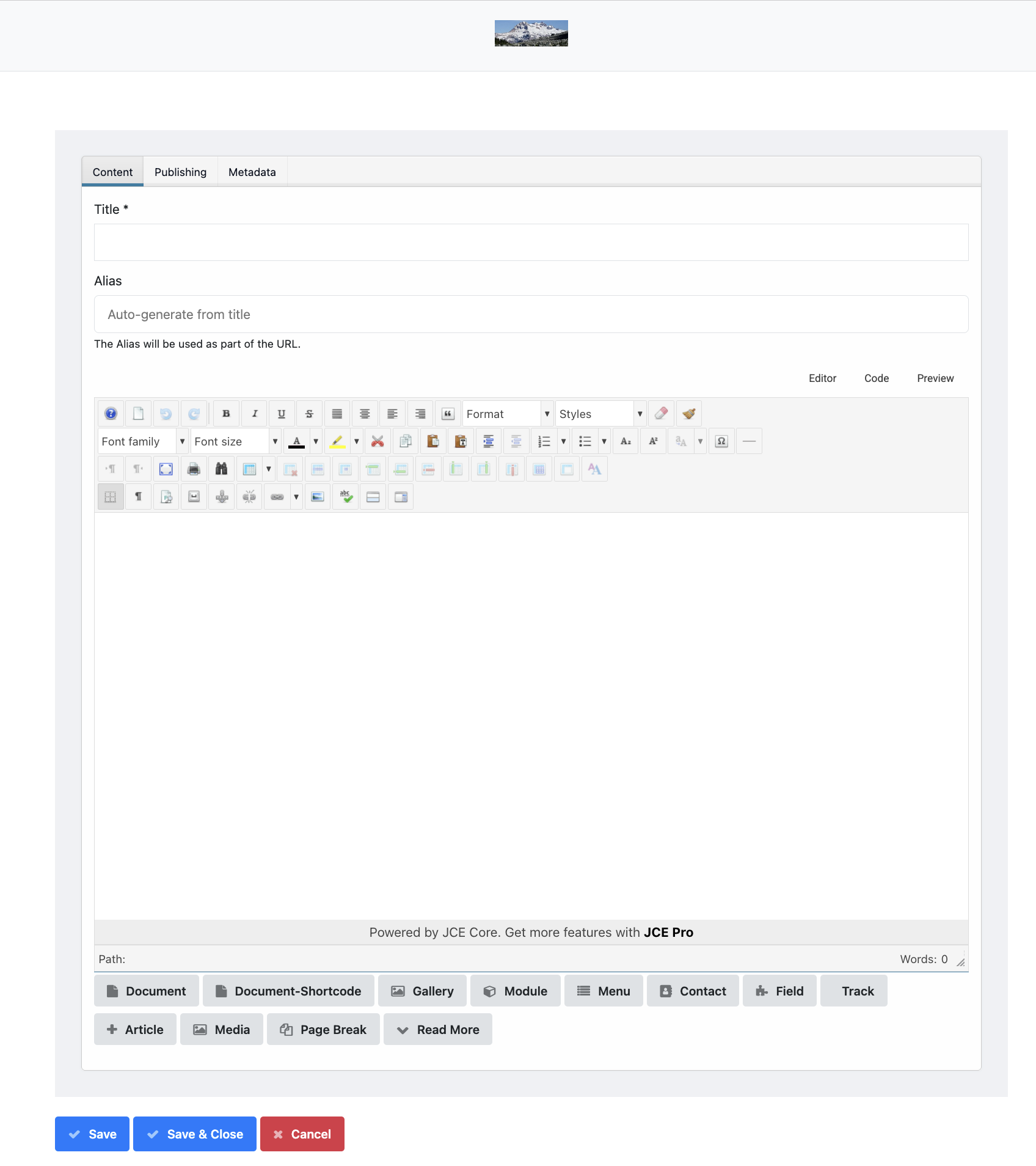
Step 1: Click in the body of your article in the text editor to place the cursor where you want to insert your track
Step 2: Click on the "Track" button at the bottom of the text editor (see Screenshot Above)
Step 3: Select the track in from the list of tracks.
Note that you will have to add the track to the trail database first if it does not already exist.
IMPORTANT: Only one GPX map can be displayed in a single article using this plugin.
How do I add a Trail Database Category to Backcountry BC?
Make your request through our Request New Categories form.
Example of the Watersprite Trail inserted into this article:
- Min Elevation
- 811 m
- Total Distance
- 8.49 km
- Max Elevation
- 1479 m
- Total Time
- 0h 00m 00s
- Total Elevation Gain
- 1136 m
- Way Points
- 0
- Total Elevation Loss
- 468 m
- Track Points
- 583
- Max Speed
- 0 m/s
- Route Points
- 0
- Average Speed
- 0 m/s
|
This track was downloaded 13 time(s). Please register/login to download this track. |