-
Take the winter route to Watersprite Lake. At the swamp, climb up to the summer trail to the lake.
-
Go over the Gibson-Watersprite col (1780 m).
-
Descend about 500 meters into Crawford Creek headwaters.
-
Climb up to Crawford Peak.
-
Descend the NW glacier into the east fork of Skookum Creek.
-
Stay on the south side near the valley bottom but one heinous section is bypassed by crossing snow bridges over the creek to the north and then back south. Might be more difficult in May as snow bridges melt out. It is a dangerous creek. You would likely not survive if you fell in one of the big holes or a snow bridge collapsed.
-
Near 1190 m climb up and over Skullhead Pass (1330 m). You might be tempted to avoid this climb at your own peril by staying in creek valley of the east fork.
-
Pick up a logging road near 1200 meters west of the pass. Follow it down to the Watersprite Lake trail (summer trail).
-
Climb up the trail and ski down to the swamp on the winter route. Go down the summer trail at your own peril. Seems good and it is except for a couple of potentially nasty bits and a long slog back from the dam.
- Min Elevation
- 783 m
- Total Distance
- 23.68 km
- Max Elevation
- 2039 m
- Total Time
- 0h 00m 00s
- Total Elevation Gain
- 2373 m
- Way Points
- 0
- Total Elevation Loss
- 1991 m
- Track Points
- 1601
- Max Speed
- 0 m/s
- Route Points
- 0
- Average Speed
- 0 m/s
|
This track was downloaded 3 time(s). Please register/login to download this track. |
Crawford Peak lies in the northwest corner of Pinecone Burke Provincial Park. It's easiest to reach it from Watersprite Lake Recreation Area. There are two access routes from Watersprite Lake. The northwest glacier on Crawford Creek can be skied and egress is from Skookum Creek East Fork and out over Skullhead Pass to the Watersprite Lake trail. The east fork is not recommended for travel once the snow is gone.
Winter
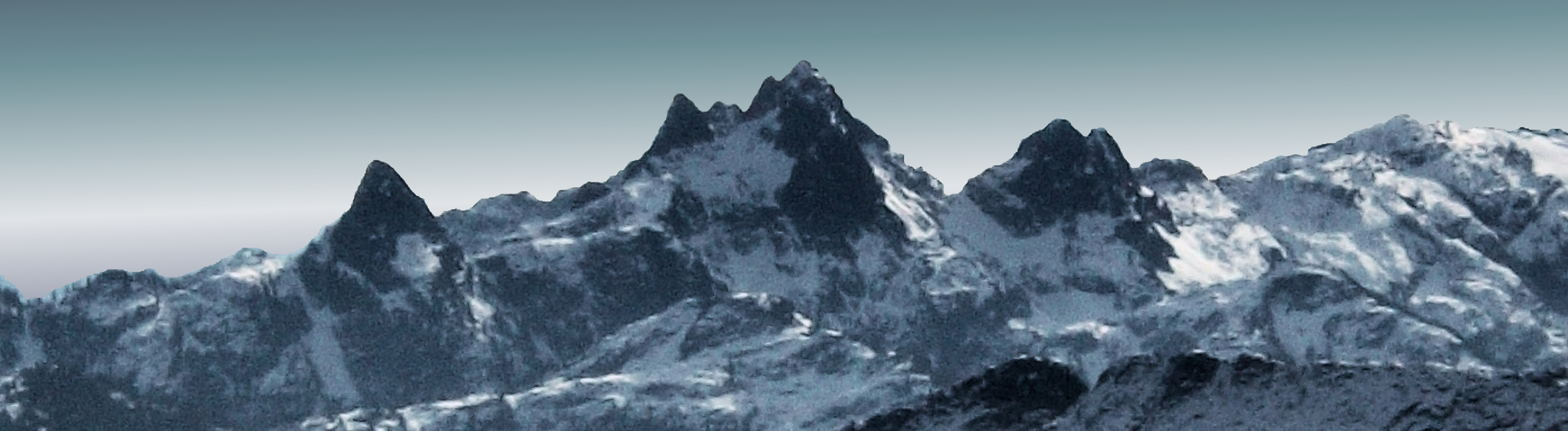
The Crawford peaks—Crawford W2 (Dreadnought) on left, Crawford Peak on right. From Gibson Peak.
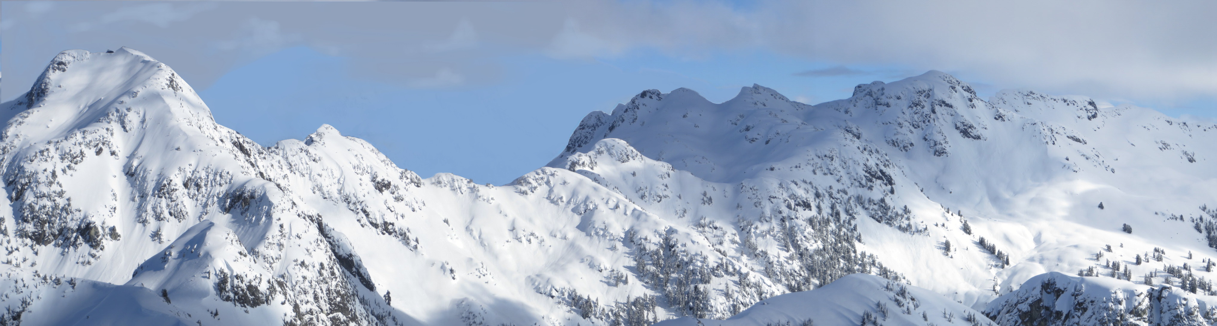
The entrance to the headwaters of Crawford Creek. Watersprite Lake is behind the ridge. The bowl on the left or the gully on the right provide access for backcountry skiers. The gully is a dangerous avalanche chute. The bowl is somewhat safer.
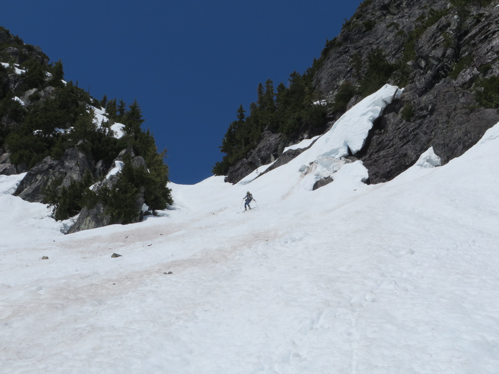
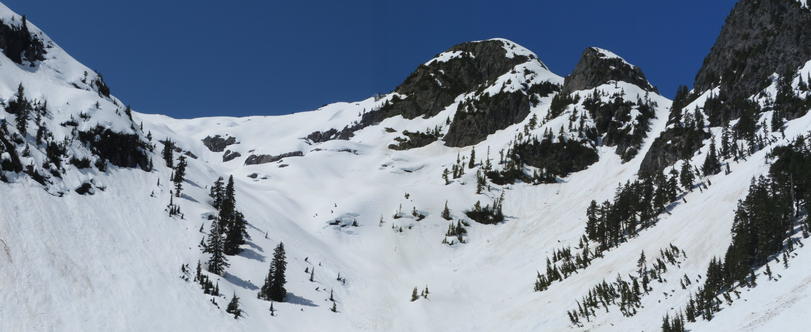
Paul Schrimpf in the gully one spring day.
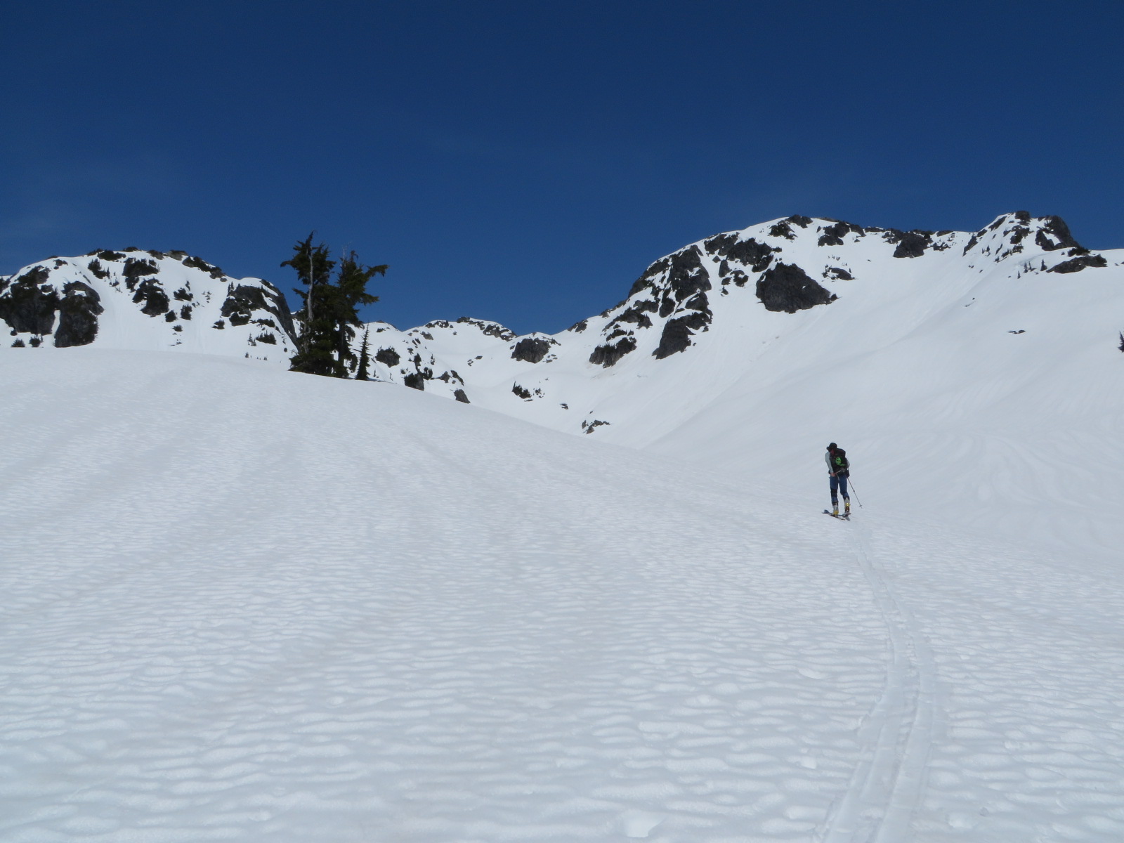
Climbing towards Crawford Peak.
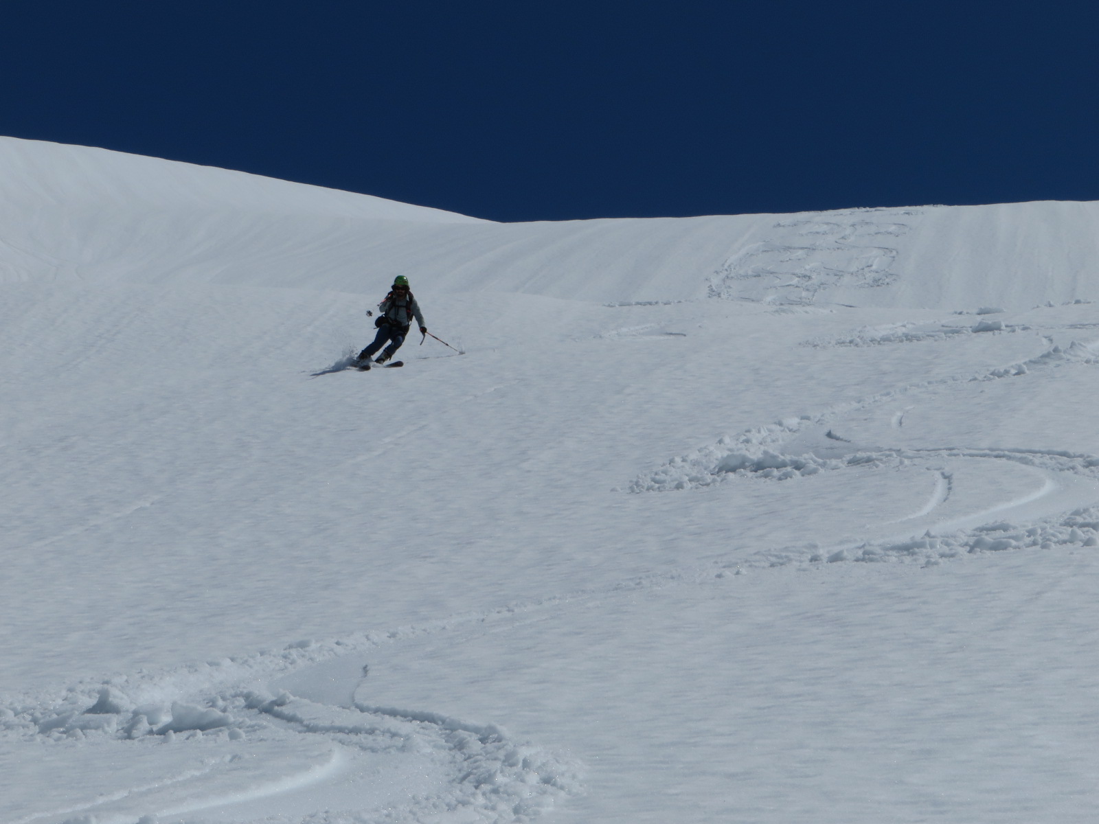
Descent of Crawford NW glacier.
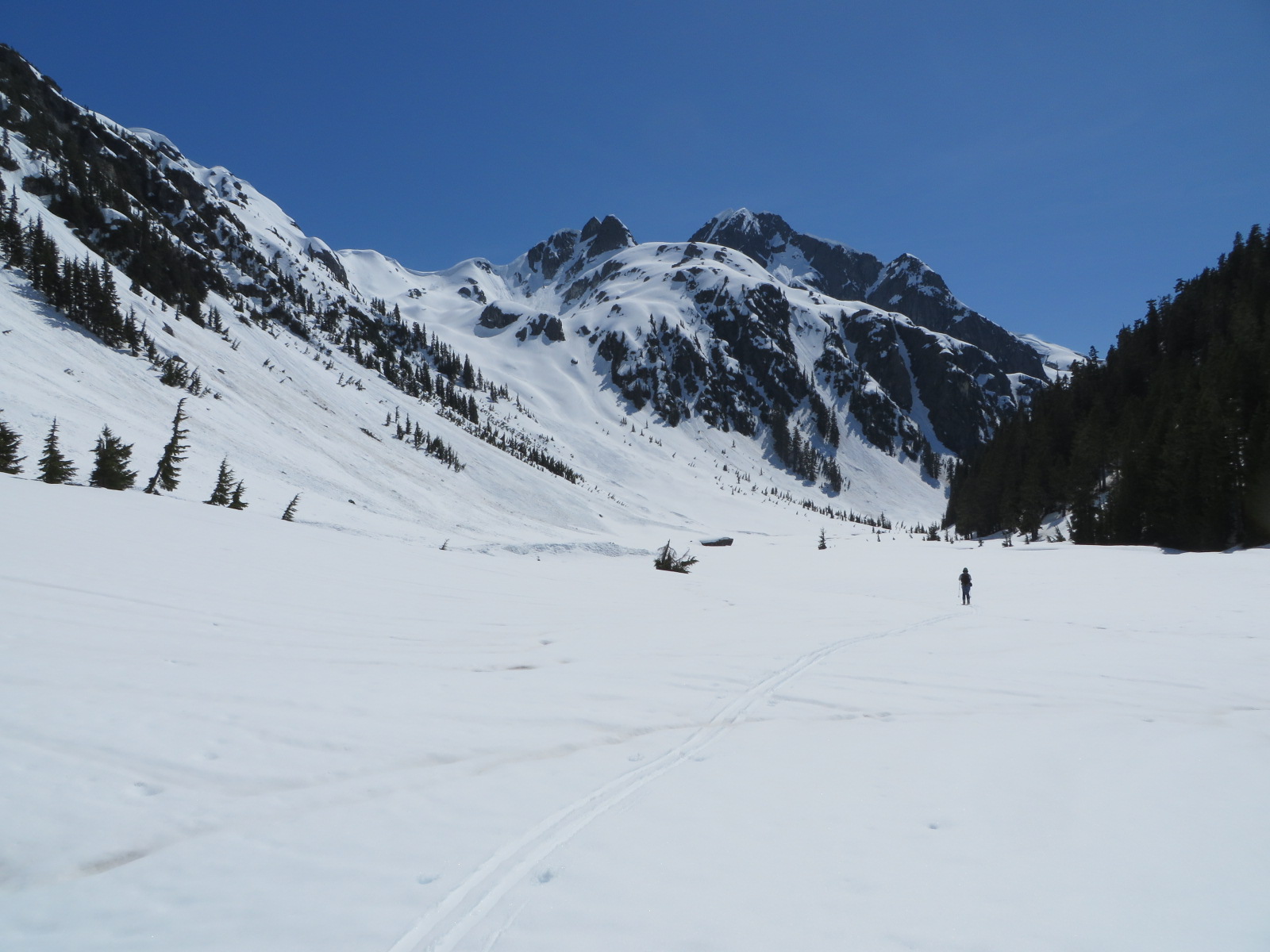
Glacial outwash plain in the east fork of Skookum Creek. Dreadnought Peak ahead of the skier. Egress down the creek is blocked by an impassable swamp. A convenient slope can be climbed to the so-called Skullhead Pass above the swamp to rejoin the Watersprite Lake trail.
Summer
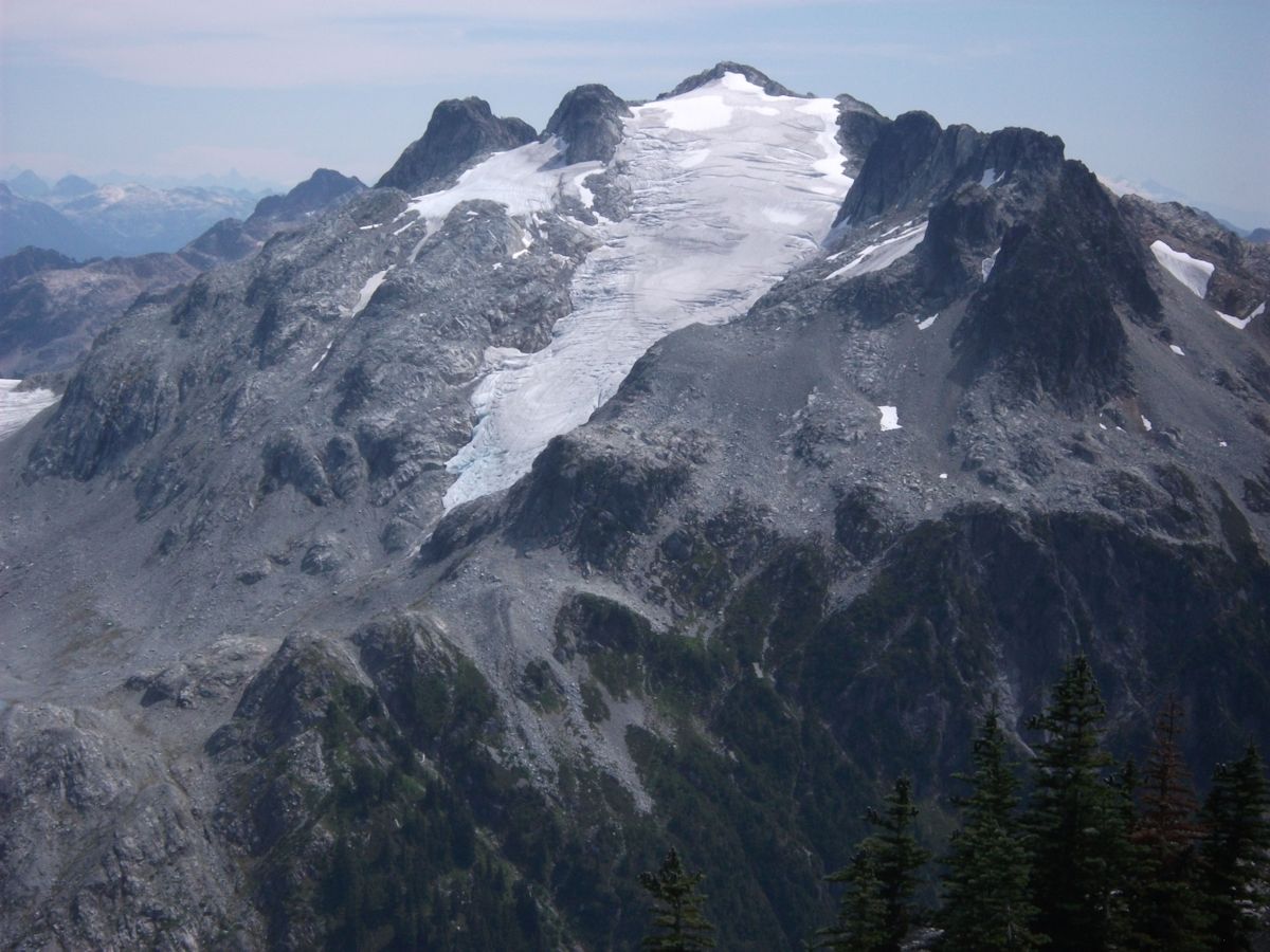
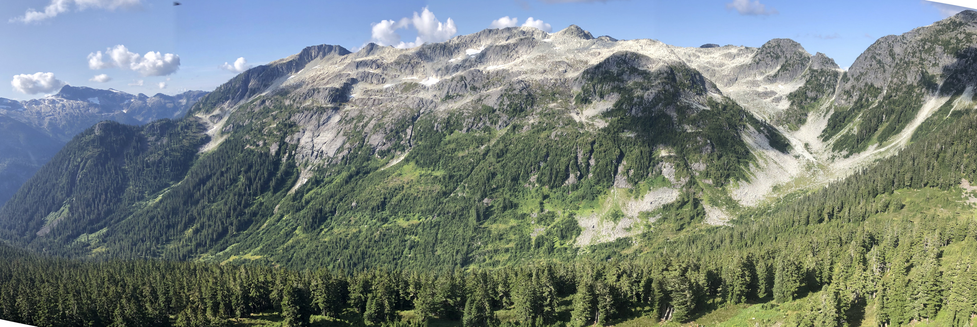
Crawford Peak. Looking across the east fork of Skookum Creek at its northwest glacier—an outstanding ski descent.
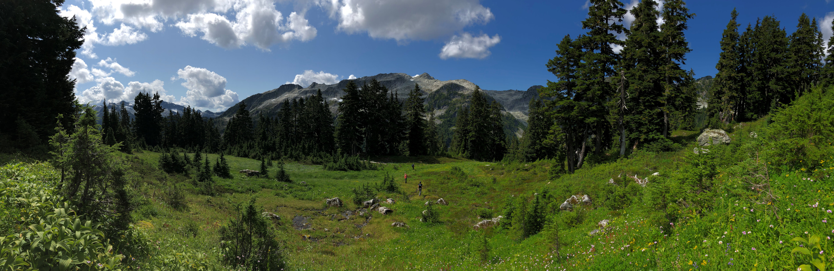
The meadows south of Crawford Peak.
Looking back west towards the divide with Watersprite Lake. The access route in summer follows the heather benches in the forested area left of the rock buttress on the far right.
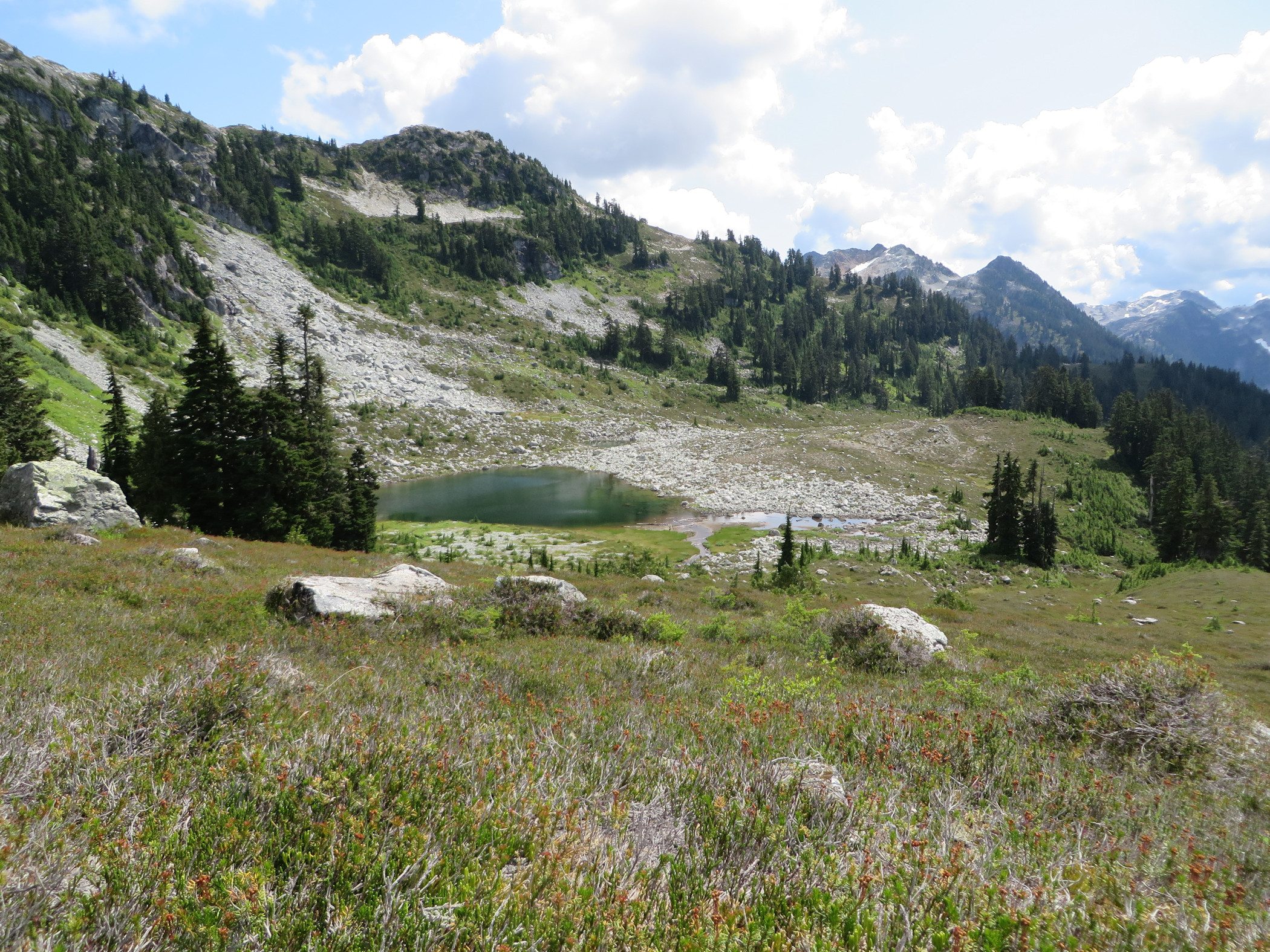
One of the smaller lakes south of Crawford Peak.
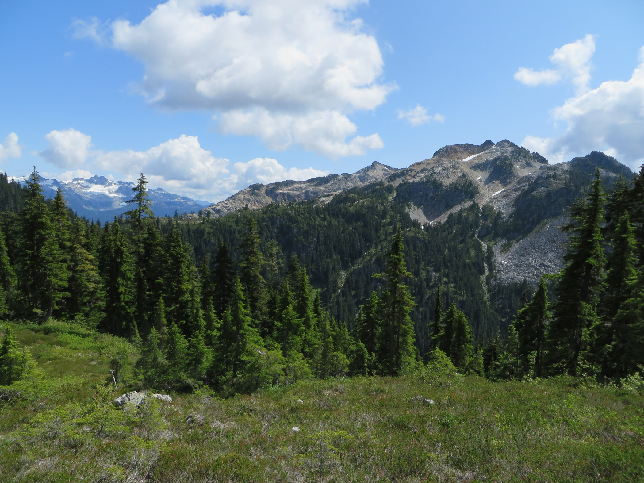
The so-called Cotard Peak southeast of Crawford Peak.