Coquitlam to Squamish hiking trail
- Written by: Paul Kubik
- Hits: 4183

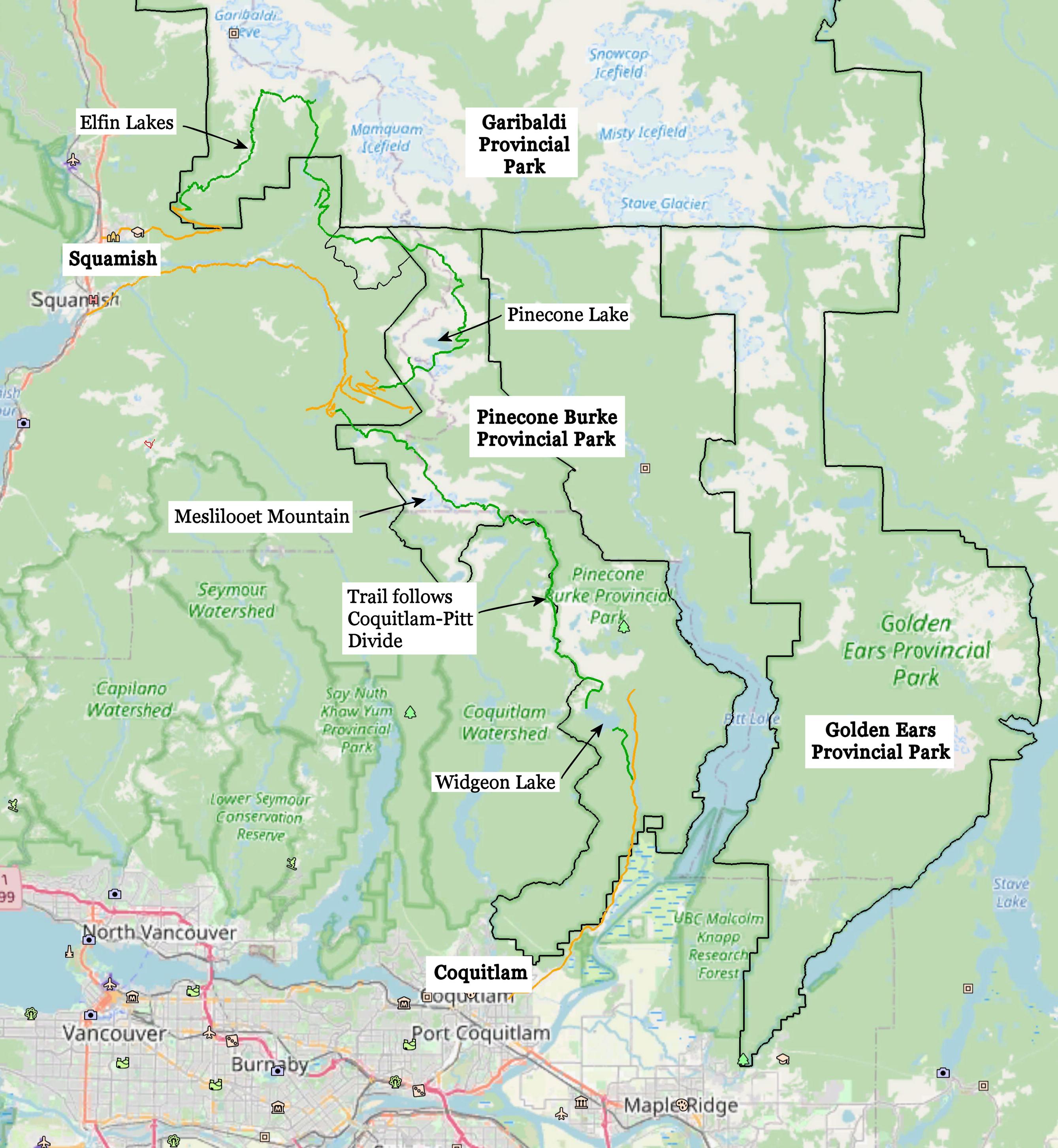
As part of longer range planning, it is highly desirable that a long distance hiking route between Coquitlam and Squamish be considered. Here we propose a high elevation trail that follows the Coquitlam-Pitt Divide north from Widgeon Lake. The divide provides hiking and mountaineering access to Meslilloet Mountain, the Five Fingers group of peaks and access to the ridgeline towards Peneplain Peak. Further north in the park, Pinecone Peak, Mount Gillespie and their connecting ridges to Crawford Peak all offer challenging and spectacular side trips from the proposed hiking route. The Opal Cone trail up Skookum Creek proposed in the Garibaldi Park southwestern amendment would be a key trail as there is no other trail connecting Pinecone Burke Provincial Park to Squamish.
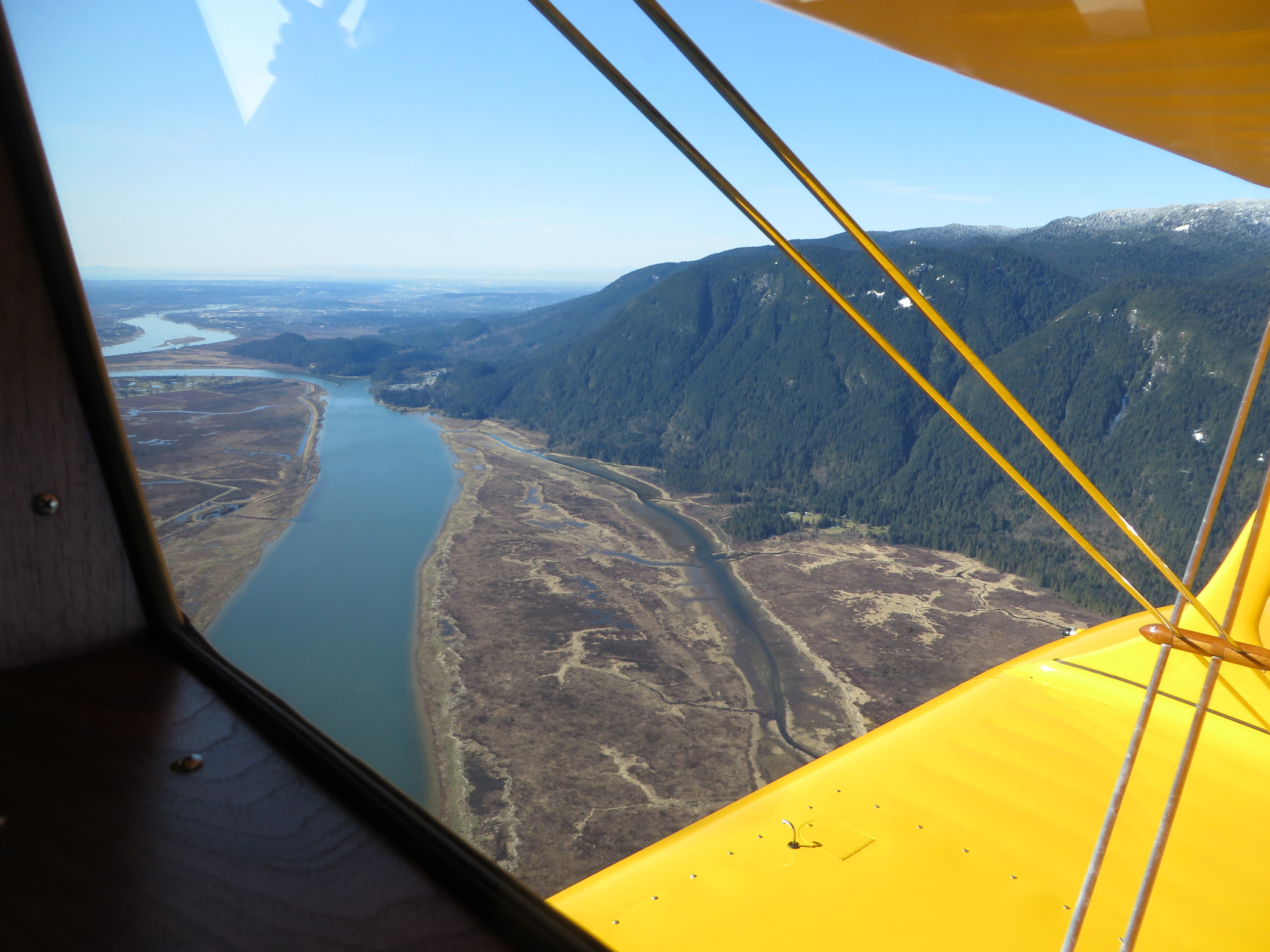
Metro Vancouver is currently planning for public access to Widgeon Marsh regional park in the three to five year timeframe. This would further open up public access to the southern end of Pinecone Burke Provincial Park. A trail through the regional park will connect to the existing Widgeon Lake trail.
Concurrently, BC Parks is preparing a draft management plan for Pinecone Burke. Should the Garibaldi Park southwestern amendment proceed, it would mean that approximately 75 kilometers as the crow flies of provincial park land in southern British Columbia next to an urban metropolis is in a planning process.
Currently, Widgeon Lake is difficult to reach. A boat is needed to cross Pitt River or it's necessary to hike over Burke Mountain. Widgeon Lake itself is an impediment to reaching the Coquitlam-Pitt divide. Steep cliffs run down to the lake. A float plane must be hired to land on the far end of Widgeon Lake. It is desirable to plan for a trail around the lake that would permit hiking access to the divide near Peneplain Peak.


