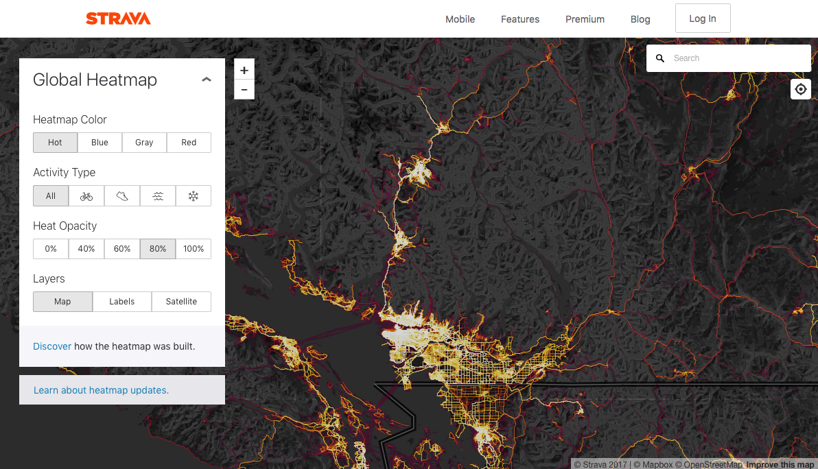
The Strava Heat Map shows the 'heat' made by aggregated, public activities over the last two years. This allows you to view the usage by activity type of a trail, road, route (i.e. how heavily used is a trail).
Click Here to go to the Strava Heat Map website (Centered on SW British Columbia)
Screenshot: