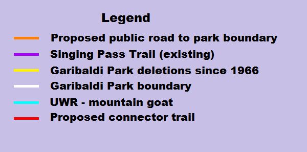
Singing Pass Map
Showing Garibaldi Provincial Park boundary in the vicinity of Whistler (white line or maybe rendering in dark blue).
There are the following additional features:
Shown in purple is the existing Singing Pass trail on the west side of Fitzsimmons Creek. This road cannot be driven since the landslip of 1991. On the east side is the proposed paved public road to the park boundary that starts in the Whistler sliding centre and ends at the Fitzsimmons Creek intake dam for the run-of-river power project. There is a proposed paved parking area at the intake.
Shown in red is the proposed connector trail between the intake parking area and the official Singing Pass trailhead near the park boundary.
In light blue is the ungulate winter range (UWR) for mountain goat in the vicinity of the Spearhead Range.
Outlined in yellow are Garibaldi Provincial Park deletions since 1966. The deletion shown in green is Blackcomb Glacier Provincial Park boundary. The remaining deletions went to the controlled recreation area (CRA) that contains the facilities operated by Whistler Blackcomb.
The pink outline is the permit area for Whistler Heli Skiing in the Spearhead Range.